Bad News/Good News
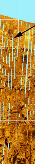
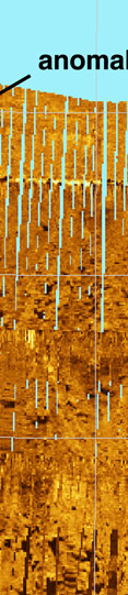
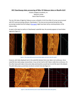
The Senior Data Processor at Oceanic Imaging Consultants, Inc. of Honolulu, Hawai‘i, recently examined the raw sonar data associated with the anomaly that TIGHAR suspects might possibly be the wreckage of the Earhart Electra (see Is This the Earhart Electra?) and has provided the report included below. The report contains some bad news and some good news.
The bad news is that the data collection performed by the search contractor during last year’s Niku VII expedition was much less complete than we were led to believe. Consequently, the imagery initially derived from that data was somewhat misleading.
The good news is that, when corrected, the imagery of the anomaly – although less complete – looks even more interesting than it did in the initial distorted version.
Oceanic Imaging Consultants, Inc. (OIC) contacted TIGHAR after seeing media coverage of our interest in the anomaly. OIC makes seafloor mapping software and provides consulting and data processing services for seafloor mapping projects, including scientific analysis and interpretation of sonar data. We eagerly accepted OIC’s offer to use their proprietary CleanSweep software to post-process our raw sonar data to see if we could learn anything more about the anomaly.
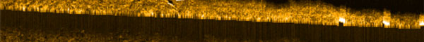
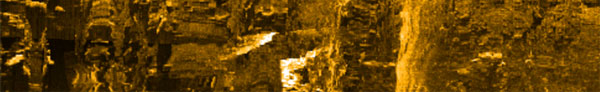
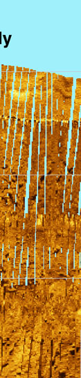
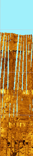
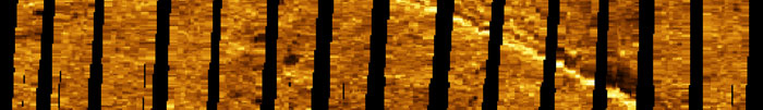
To our surprise, OIC soon discovered that the raw sonar data we sent them were incomplete. Normally a sonar device sends out “pings” of sound at a rate that matches the speed the device is traveling through the water so that the returns or “echos” provide a complete “sound picture” of the area scanned. However, in this case, there were numerous “dropped pings” in the data. Where there were no pings, there were no echoes – and therefore no data.
The “downhill” end of the object falls in an area approximately 1.7 meters long where we have no data, so we have no way of knowing where the object ends in the black area. If the OIC scale is correct, the length of the object could be as little as 10.36 meters (34 feet long) or as much as 12.06 meters (39.5 feet).
In other words, it could be the length of a Lockheed Electra with a slightly crushed nose, or the length of an intact 11.76 meters (38.5 feet) Lockheed Electra fuselage; or it could be about one foot too long to be an Electra fuselage. The Holy Grail or close-but-no-cigar?
OIC’s estimate for the height of the object, based on the shadow, is 1.66 meters (5 feet 5 inches) but the accuracy of that measurement depends heavily upon the surface upon which the shadow is cast and that is information we do not have. If the terrain immediately beyond the object is relatively flat, the estimate should be fairly good. If the terrain is a steep upslope the measurement will be off. It is worth mentioning, however, that the fuselage diameter of a Lockheed Electra is almost exactly 1.66 meters (5 feet 5 inches).
All of this new information – the bad news and the good – is extremely valuable. Oceanic Imaging Consultants, Inc. will continue to analyze the sonar data collected during the Niku VII expedition. We’ll report further results as they become available.
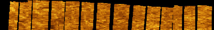
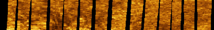
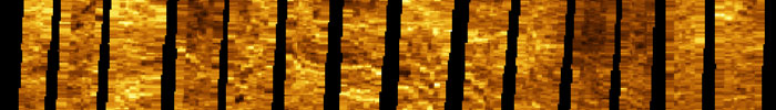
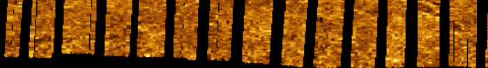
Click on the small image below for the full report by OIC Senior Data Processor Masaomi Uchida. It is large, be patient while it loads.
|