File:Potting Sheet Example.bmp
Size of this PNG preview of this BMP file: 600 × 600 pixels.
Original file (959 × 959 pixels, file size: 900 KB, MIME type: image/x-bmp)
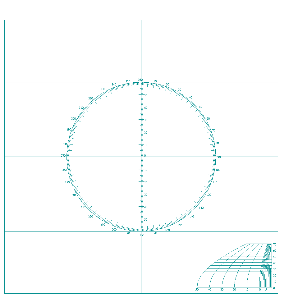
An example of a plotting sheet devoid of geographic features. Used off-shore, the navigator must assign the longitude (and in this example the latitude also) for the area he is traversing. The VP-3 and VP-4 used by Noonan while with Pan Am were similar. (Courtesy: Ed Falk,www.efalk.org)
File history
Click on a date/time to view the file as it appeared at that time.
| Date/Time | Thumbnail | Dimensions | User | Comment | |
|---|---|---|---|---|---|
| current | 23:53, 1 December 2010 | | 959 × 959 (900 KB) | Rickerjones (talk | contribs) | An example of a plotting sheet devoid of geographic features. Used off-shore, the navigator must assign the longitude (and in this example the latitude also) for the area he is traversing. The VP-3 and VP-4 used by Noonan while with Pan Am were similar. ( |
You cannot overwrite this file.
File usage
The following page uses this file: