File:GoogleEarth-Aukaraime.png

Size of this preview: 641 × 599 pixels. Other resolution: 942 × 881 pixels.
Original file (942 × 881 pixels, file size: 1.24 MB, MIME type: image/png)
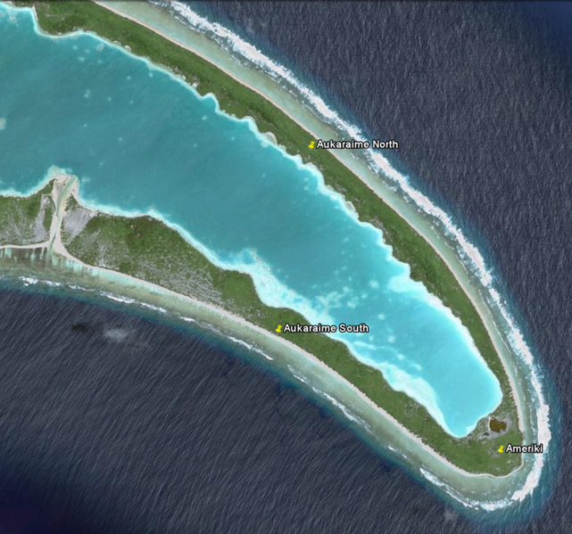
Image copyright 2009 DigitalGlobe. Image NASA. Data SIO, NOAA U.S. Navy NGA GEBCO. Imagery Date: Feb 22, 2007. From Google Earth.
File history
Click on a date/time to view the file as it appeared at that time.
| Date/Time | Thumbnail | Dimensions | User | Comment | |
|---|---|---|---|---|---|
| current | 19:52, 20 October 2009 | | 942 × 881 (1.24 MB) | Moleski (talk | contribs) | Image copyright 2009 DigitalGlobe. Image NASA. Data SIO, NOAA U.S. Navy NGA GEBCO. Imagery Date: Feb 22, 2007. From Google Earth. |
You cannot overwrite this file.
File usage
The following 2 pages use this file: