File:Gallagher Hwy Compl.jpg: Difference between revisions
Jump to navigation
Jump to search
(Map of Gallagher Highway and Kent's Site) |
No edit summary |
||
| Line 1: | Line 1: | ||
Map of Gallagher Highway and Kent's Site | Figure N-40: Map of Gallagher Highway and Kent's Site | ||
Latest revision as of 17:11, 7 February 2009
Figure N-40: Map of Gallagher Highway and Kent's Site
File history
Click on a date/time to view the file as it appeared at that time.
| Date/Time | Thumbnail | Dimensions | User | Comment | |
|---|---|---|---|---|---|
| current | 17:01, 7 February 2009 | 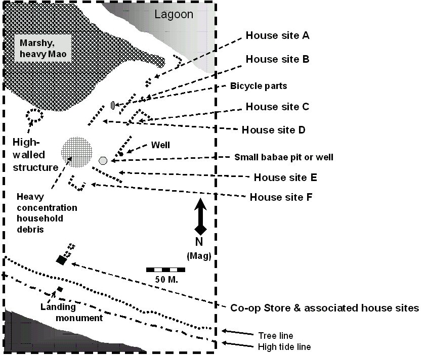 | 840 × 702 (119 KB) | Tfking106 (talk | contribs) | Map of Gallagher Highway and Kent's Site |
You cannot overwrite this file.
File usage
The following file is a duplicate of this file (more details):
The following page uses this file: