Thanks yes. The A was spotted by those watching the TIGHAR video of from the Tuna spotter helicopter
This is from the tuna spotter in the
TIGHAR Aerial Tour of Nikumaroro video ( at time 9 minutes and 39 seconds )
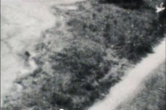
This is from the 1938 aerial image in
the same video at 9 minutes 42 seconds
And this is from
Google Maps Satellite view 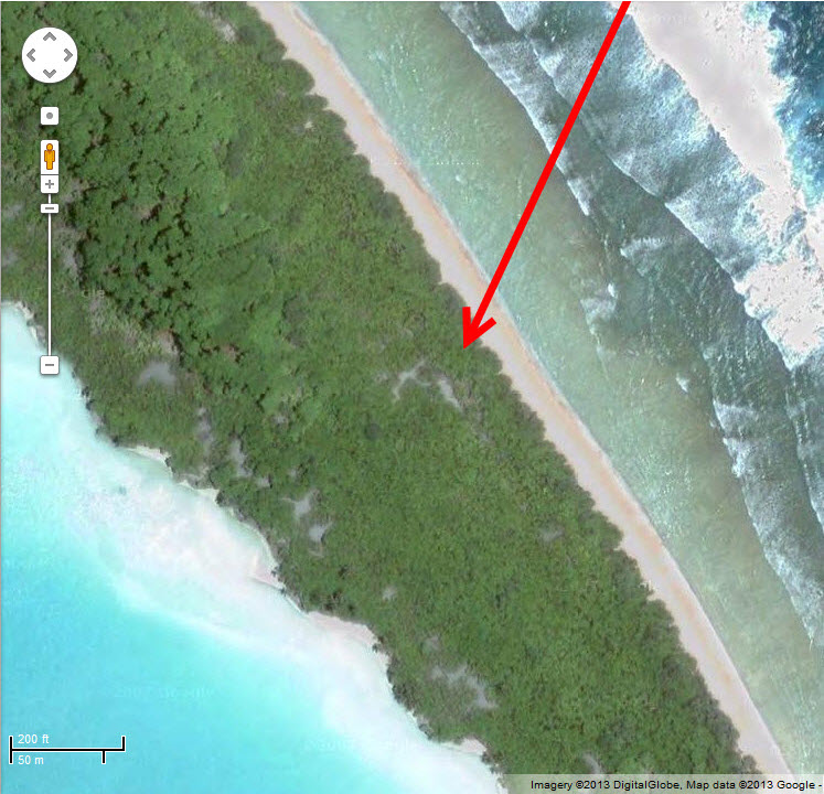
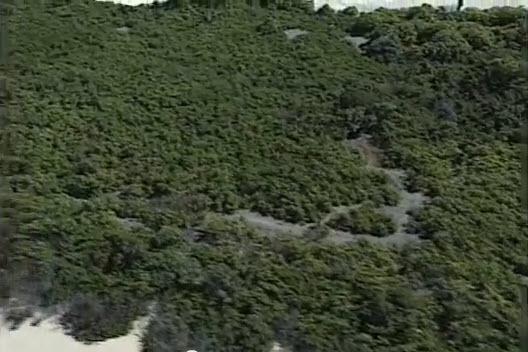
And this image, with the "A" clearing in view on the right hand side, is from the
Approaching the Seven Site taken prior to the excavation in 2010
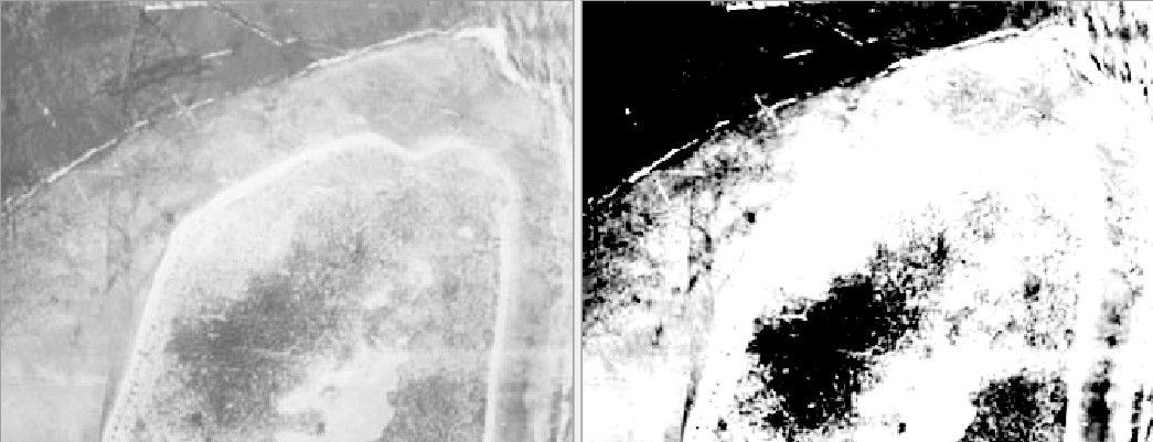
And another clearly visible "A" from the
NikuVI PIPA report p2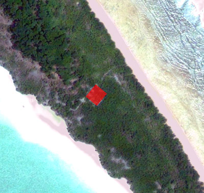
And even the black and white 1939 aerial "7" seems to have a little bit of "A" (cross bar) to the seven
By the way, how likely is it that Gerald Gallagher's loggers put a line of corrugated iron to facilitate rolling logs? It seems a lot of trouble to go to for little advantage. In what direction was the line of the corrugated iron? The top of the "7"? The Stick of the "7" or the bar of the "A." If someone were attempting to transform a naturally occurring clearing and trying to turn it into a symbol they might add man made beach combed bits (iron) to add straightness and artificiality.
Also, it is cool that the
image from Google Maps it is almost perfectly orientated: an "A" the right way up! Are Google maps images facing North-towards-the-top? I think that they may well be. If I were going to cut my initial into a jungle I would want to orientated it with the compass in this way to increase the changes that it be recognized.
And I would like to reiterate the reverse engineered motivational analysis (for lack of better Jargon).
Assuming that Amelia Earhart
1) survived on the island for a while (how long based on the remains?)
2) was active, proactive, a survivor
3) was an aviator with plenty of experience of (and ability to imagine/see) how things look from above
4) had experienced an abortive rescue in the form of a plane fly over, which did not spot her
5) knew how isolated the island was and how the only likely visitors would be by air
Then, on any island where the above 5 suppositions are true (other than the first, they are all no-brainers), one would strongly expect AE to
1) Have located herself near to prominent features that would attract attention from the air
2) Have at least attempted to make a sign visible from the 400 feet of a plane
3) Have made that sign indicate human presence and
4) Have made that sign indicate her own (word famous, important, people on the look out for) presence.
5) Have located herself beside any naturally occurring terrain feature that, by some stroke of luck, would suggest her presence.
What sign would Amelia Earhart she have made or chosen to indicate her presence to aviators? It seems to me that, considering the points above, one might almost reach the conclusion that.....
If there were not a large "A" on the island then Amelia Earhart was not there!
But there is an "A" clearly visible even to this day!! :-)
Bearing in mind that one can very plausibly and honestly claim that this looks like an "A", calling the site "Site A" or "Amelia's A" (instead of "Site 7") just seems like good marketing, with a view to raising funds to send that sub down to see the newly found underwater remains. This was not my idea.


