 |
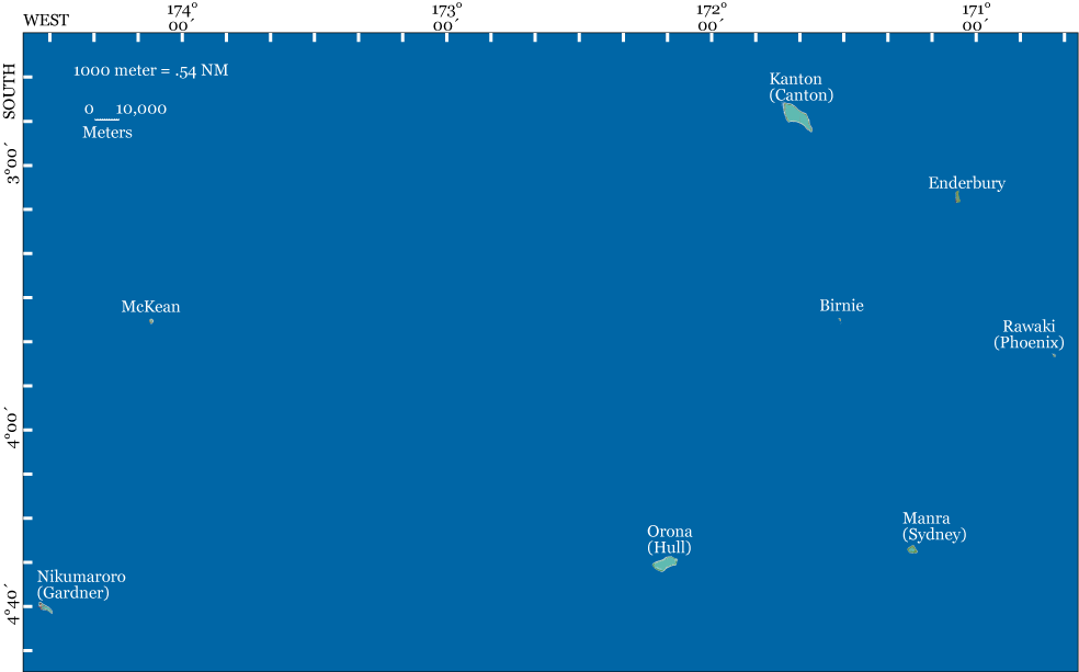
The names in parentheses are the former names of the islands. Click on each island to open a detailed map in a new window.
The Phoenix Island Group is part of the Republic of Kiribati. Only Kanton Island is now inhabited. There were settlements on Orona (Hull), Manra (Sydney) and Nikumaroro (Gardner) from the late 1930s until the early 1960s. McKean Island was the site of guano mining operations in the late 1800s. Nikumaroro hosted a few Niue islanders in the 1890s, who planted coconuts for an English business and then left. For a more complete history of Nikumaroro, go to Paradise Lost. |
Copyright 2021 by TIGHAR, a non-profit foundation. No portion of the TIGHAR Website may be reproduced by xerographic, photographic, digital or any other means for any purpose. No portion of the TIGHAR Website may be stored in a retrieval system, copied, transmitted or transferred in any form or by any means, whether electronic, mechanical, digital, photographic, magnetic or otherwise, for any purpose without the express, written permission of TIGHAR. All rights reserved. Contact us at: info@tighar.org • Phone: 610.467.1937 • JOIN NOW |