|
October, 2003
Maps & Photos
Late in 1938 an expedition was undertaken to evaluate certain British islands in the South Pacific for their suitability for aviation operations, both the construction of airfields and the use of lagoons by flying boats. The photographs, maps, and contour plans produced were archived as part of the reports. Our thanks to Wigram Air Force Base Archives, RNZAF, for permission to reproduce these images on our website.
Technical Notes
The thumbnails below are links to JPEG images of our copies of the original images. Click on each image to view the larger version in a new window.
MAPS
|
Contour map of Aerodrome Reserve. |
Soundings map of lagoon. |
Overall topographic map. |
||
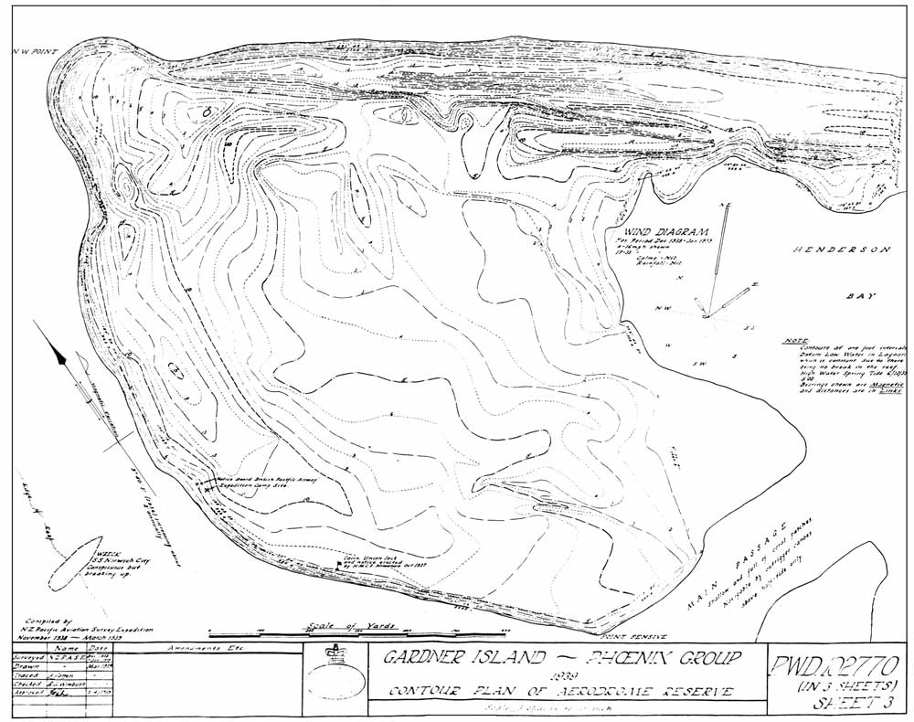
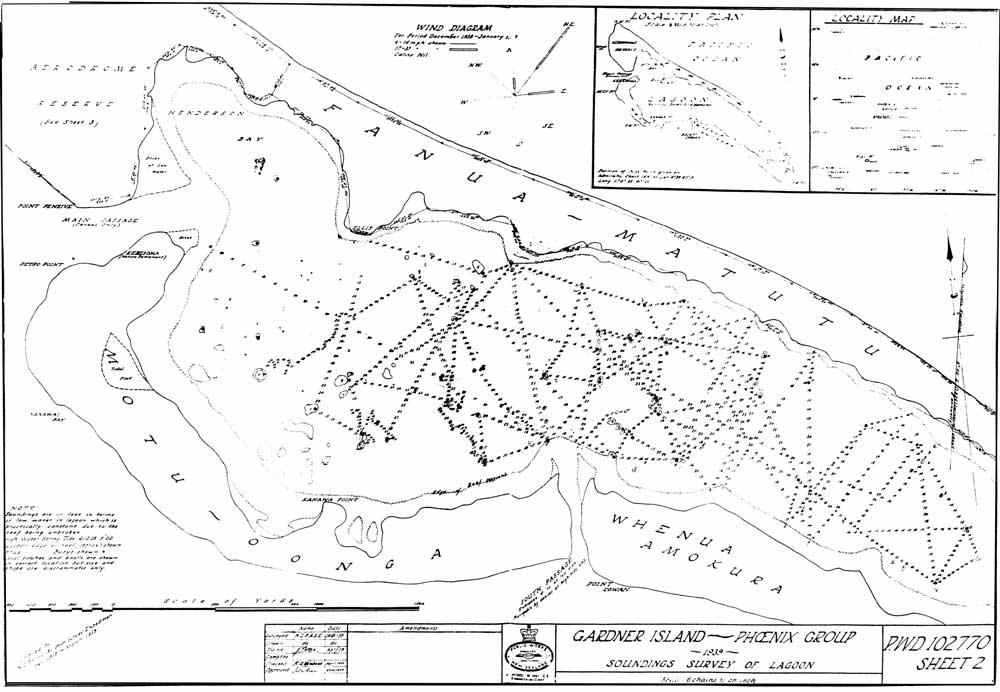
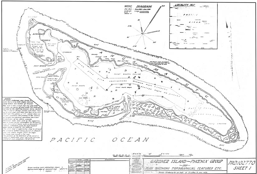
PHOTO ALBUM
|
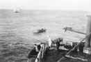
Tying off to the Norwich City. |
Landing stores. |
A balky condenser. |
|
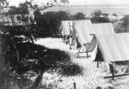
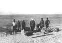
Tent city. |
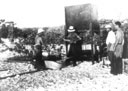
The survey party. |
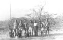
The colonists. |
|
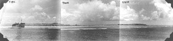
The island and Norwich City. |
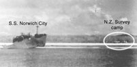
Detail showing camp. |
|
|
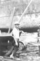
Jack Petro. |
Photos
courtesy and © Royal New Zealand Air Force, Wigram Air Force
Base Archives.
|
|